We didn’t feel like our adventure had fully begun since we were waylaid in Redding for so long, so we were excited to be on our way to Lake Tahoe. We jumped on I-5 and headed south to Red Bluff, then took SR 36 east a bit until it merged with SR 99 south. SR 99 follows along the eastern side of the Sacramento valley and passes through Chico, Live Oak and Yuba City. This area is mostly agricultural – we saw acres and acres of almond trees. At Yuba City we hopped on CA-20 and exited to CA-174 through Smartsville, Penn Valley and finally, Grass Valley! Why would we hop, skip and jump through so many highways and state routes? Disc Golf! There’s a highly rated disc golf course in Grass Valley called Condon Park and, well, this also seemed the best route to reach Lake Tahoe.

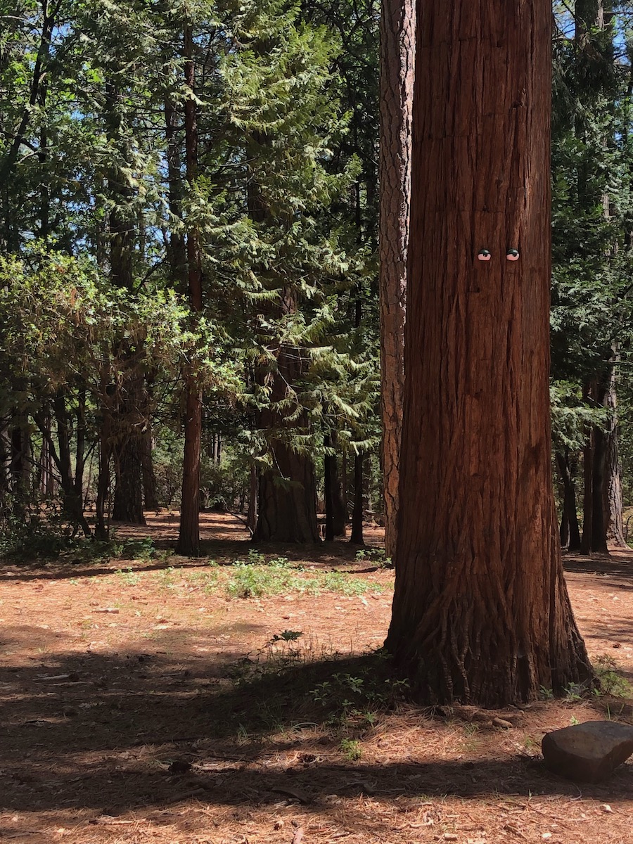
The trees are watching at Condon Park!
After a great round of disc golf on a beautiful course, we got back on the road and continued to traverse through the beautiful Sierra Nevada mountain range. We headed north to Nevada City and then continued east following Harmony Ridge and Washington Ridge and climbed further to Yuba Pass where we connected with I-80. Our last big climb was Donner Pass at a whopping elevation of 7,227 feet! Luckily the pass is more gradual when coming from the west side – Birdie did great…slow and steady. We knew we were climbing high when we started to see snow!
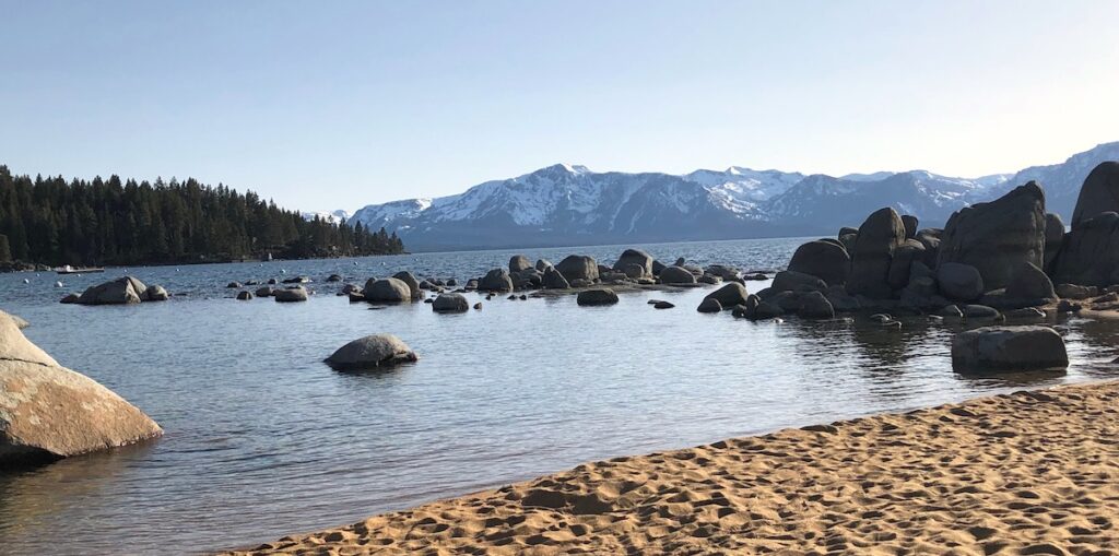
We followed the road along the Truckee River and made it to Tahoe City, it was getting late so we were headed straight to the William Kent Campground. As we headed out of Tahoe City, we got our first glimpse of the lake. It was magnificent and massive with beautiful mountains all around! Lake Tahoe is the second deepest fresh-water lake in the U.S. at 1,645 feet maximum depth. It’s about 22 miles long and 12 miles wide. The water is clear and blue which is in part due to the lack of algae, the 63 tributaries that are filtered through marshes and meadows and the high percentage of rain/snow that falls directly onto the lake.
We saw a biking/walking trail that followed along the lake – we want to come back and bike along the trail. But for now, we were tired. We didn’t have reservations as most of the campgrounds on-line were taking campers on a first come, first serve basis since it was still early in the season for Lake Tahoe. We started to notice all the state campground signs were covered and had a “Closed for the Season” sign! Even the William Kent Campground! We kept driving further south along the lake, Kaspian Campground was right down the road and surely it was in operation. Nope! We kept driving and pulled into the Sugar Pine Point Campground – they were partially open with very few sites available. The open area was almost full, but we found a spot! Whew!
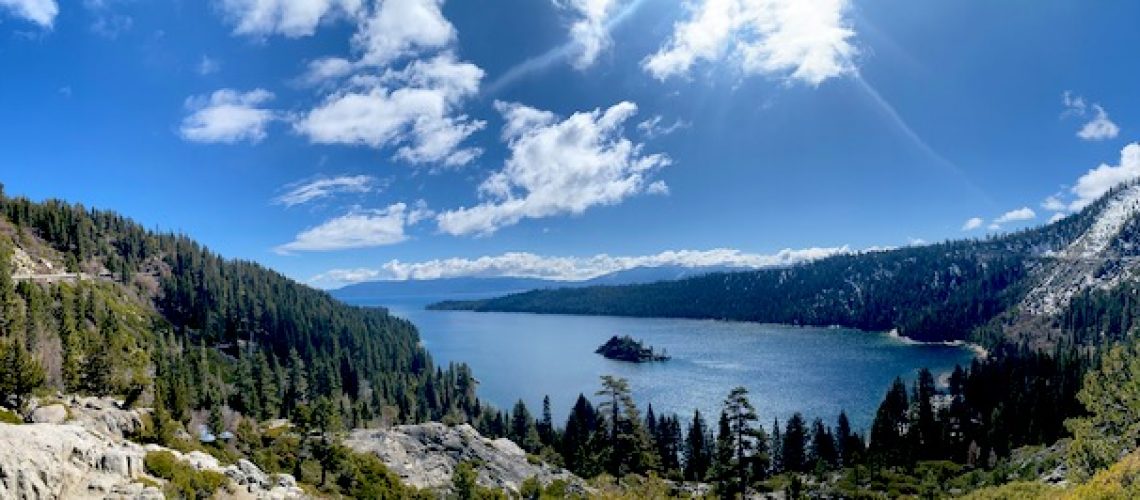
The next morning, we headed to our first stop, Emerald Bay. We parked in the Vikingsholm parking lot and jumped out to look around. Ninja stayed in the van because there are no dogs allowed on any trails or beaches. We experienced breathtaking views of Emerald Bay and the Fannette Island along with the rest of the lake and mountains in the background. Such a gorgeous area. Phil read about Vikingsholm the previous day, so we decided to walk the 2-mile round trip hike to check it out. Vikingsholm is a magnificent Scandinavian style castle commissioned in 1928 by Mrs. Lora Josephine Knight as a summer home. The area reminded her of the fjords she had visited in Sweden and liked Nordic architecture and thought it would complement the beautiful natural surroundings. The foundation was laid in the summer of 1928 and in Spring of 1929, 200 workers were brought in and built the house by the end of the season! Timber was cut, planed and decorated with intricate carvings, granite boulders were held in place by mortar and metal hinges and latches were hand forged. We were only able to see the outside since the tours were not open yet, but later read that the interior had paintings on the ceilings and walls, there are several Nordic fireplaces, Scandinavian-themed furnishings and hand-made replicas of antiques Mrs. Knight had admired in museums visited in Sweden and Norway. We’ll be back to tour the inside! Both the castle and the surrounding bay were absolutely spectacular.
We headed back up the trail, stopping to take pictures of the many streams and beautiful blue birds. Back in the parking lot we caught a glimpse of Eagle Falls, but it was super busy and there was no parking available, so we continued on towards South Lake Tahoe. We drove along a ridgeline with Lake Tahoe on the left and Cascade Lake on the right – drop-offs on either side and unsure where the road ahead would lead. It reminded us of the ridge we drove near Escalante in Utah (minus the lake views). We stopped to eat at Jalapeno’s Taqueria and had a great lunch before hitting a local disc golf course at Bijou Community Park.
It was time to check in to our camp spot for the night at the Zephyr Cove Resort which is on the east side of the lake. After checking in, we drove back to the west side to explore Eagle Falls. We weren’t sure it would be worth the 45+ minute drive, but it did not disappoint! As a fan of waterfalls, this was a beauty and we were able to get very close to the roaring, powerful water rushing down the cliff-side.
At this point we had been in California and back to Nevada twice! We noticed driving through South Lake Tahoe on the California side there were restaurants and tourist shops and as soon as we crossed the border into Nevada, there were casinos! Back on the east side of the lake (and in Nevada) we threw a few more discs at Zephyr Cove Park and walked along the north side of the Zephyr Cove Beach with Ninja (finally a beach area where dogs were welcome). We had a full day…it was time for showers, dinner and good night’s sleep!

The next morning, we ventured out towards our next destination, Death Valley.
